


URGENT UPDATE: The National Weather Service (NWS) has just issued multiple tornado warnings for the coastal areas near San Luis Obispo, California, as severe thunderstorms threaten the region early Tuesday morning. Although the tornado warnings expired around 12:45 a.m. local time, a Severe Thunderstorm Watch remains in effect until 6 a.m., according to the Storm Prediction Center (SPC).
The SPC warns that a line of low-topped convection is moving east-southeast, posing a risk of strong to damaging winds. These winds could reach gusts of up to 70 mph, raising concerns about potential damage to property and infrastructure. Residents are urged to remain vigilant as a brief tornado or two may also occur.
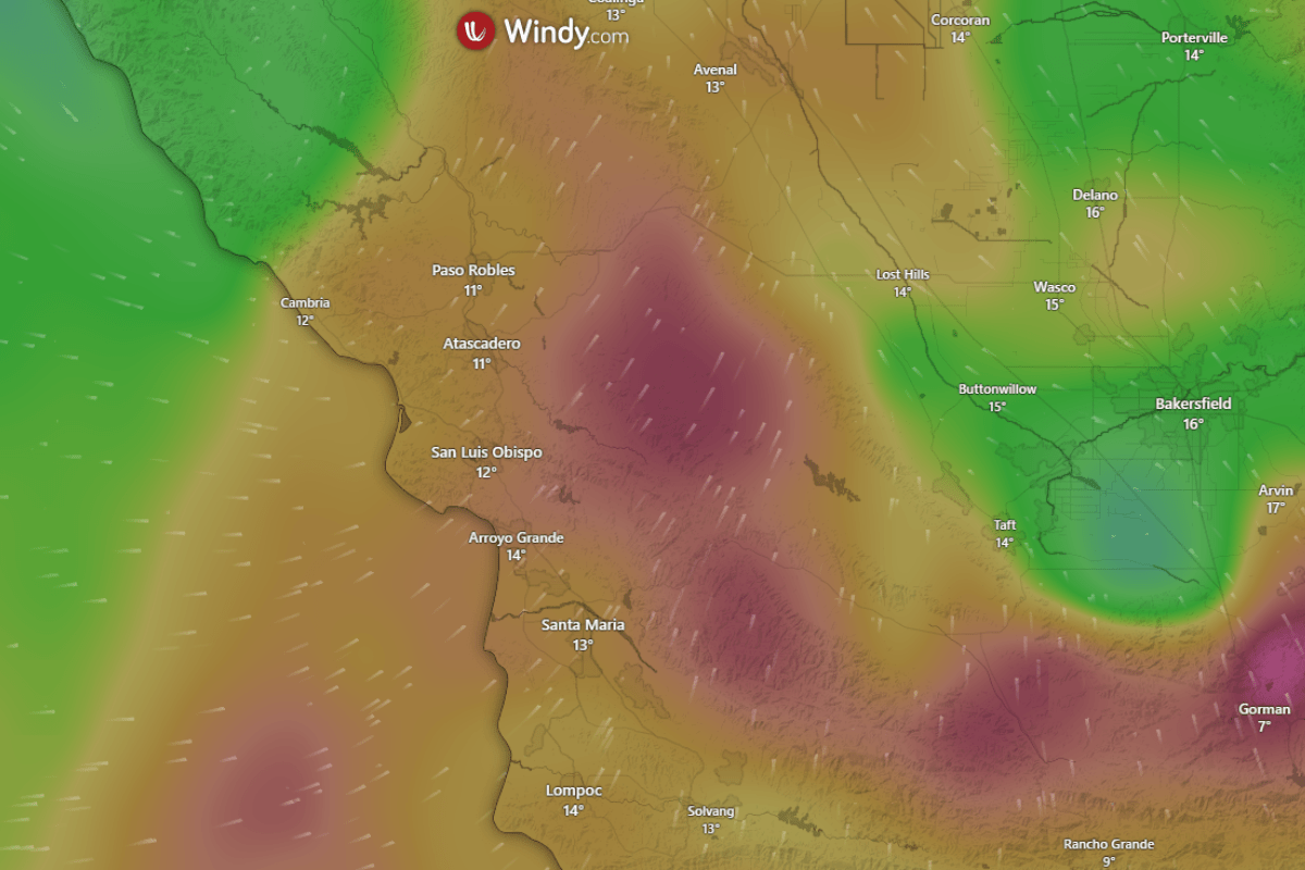
The severe thunderstorm watch area encompasses approximately 35 statute miles east and west of a line stretching from 15 miles west northwest of Paso Robles to 20 miles southwest of Los Angeles. The NWS is closely monitoring the situation, and updated alerts will follow as conditions develop.
This weather event represents a significant threat to the local community, with strong winds capable of uprooting trees and disrupting power services. Authorities are advising residents to prepare for possible power outages and to seek shelter if conditions worsen.
Stay tuned for more updates as this story develops, and ensure safety measures are in place. Share this information with friends and family in the area to keep everyone informed and safe.