


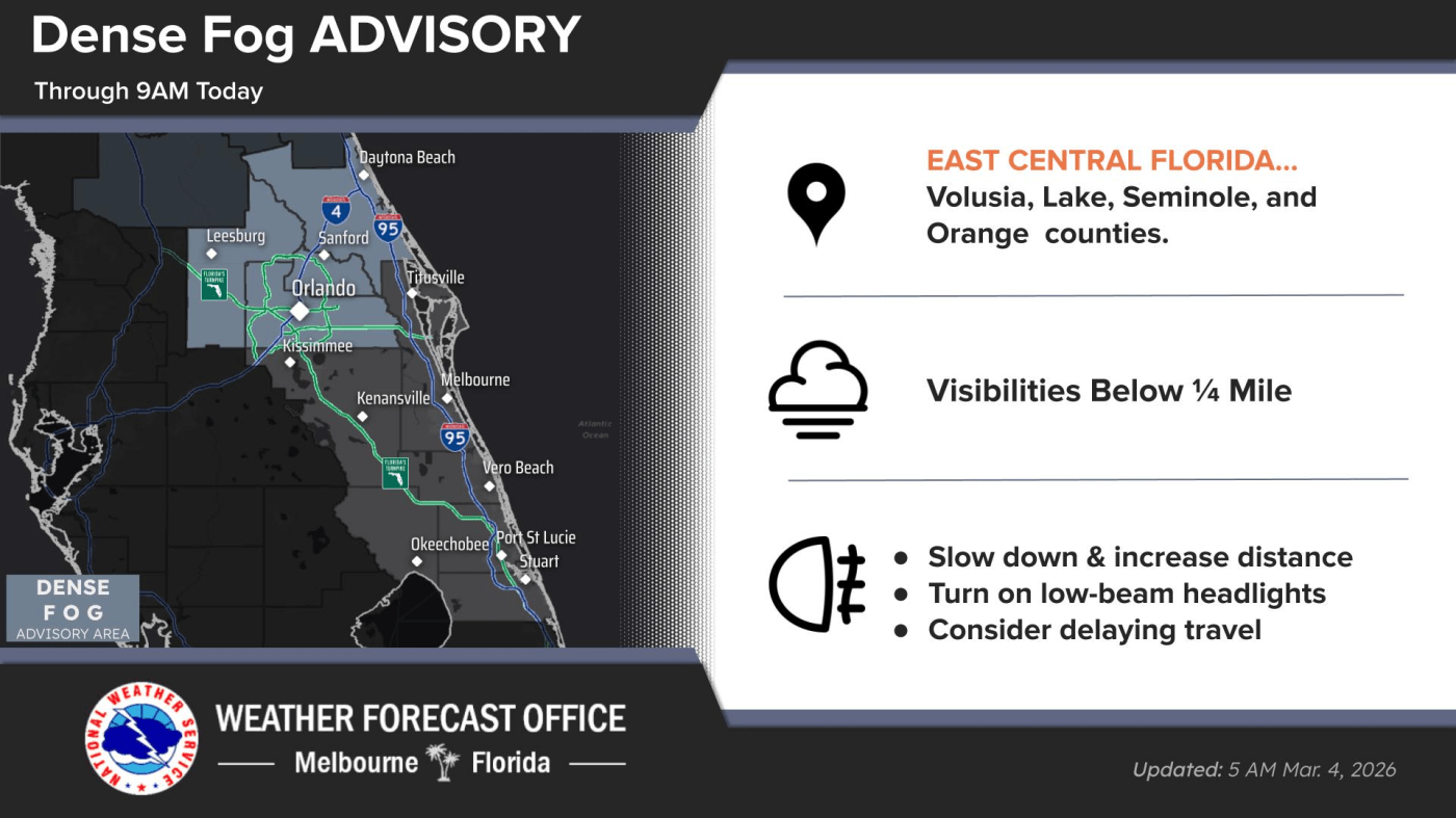
URGENT UPDATE: A dense fog advisory is currently in effect across Central Florida as the region begins Wednesday morning. The National Weather Service (NWS) Melbourne forecasts that patchy fog will start to dissipate by 9 a.m., paving the way for warmer temperatures later in the day.
Residents in the metro Orlando area can expect a high of nearly 84°F, while coastal cities like Daytona and Melbourne will see temperatures peak in the high 70s. As the fog lifts, the skies will clear, offering mostly sunny conditions throughout the day.
However, caution is advised for those planning to visit the beach. Isolated onshore-moving showers are likely to continue, especially south of Cape Canaveral. Additionally, the risk of rip currents is classified as high at all Central Florida Atlantic beaches today, putting beachgoers at potential risk.
Boaters should remain vigilant as the Atlantic waters could see seas reaching up to 6 feet. The east winds are reported at speeds of 10 to 15 mph, which may contribute to hazardous conditions offshore.
Stay tuned for further updates as conditions develop throughout the day. Share this information with friends and family to ensure everyone remains informed and safe!